Written And Shared Photos
I HAVE OFTEN WRITTEN AND SHARED PHOTOS from the Church O’ The Pines at Pine Point, but I don’t think I’ve ever provided a perspective of this historic site, where the Mississippi bends around a one-mile peninsula. Zebulon Pike paddled by here in October, 1805 on his exploratory expedition. And in 1832 Henry Rowe Schoolcraft passed by on his way to find the long-sought headwaters. As he passed, he named the great, granite outcrop directly across the water Peace Rock, as it delineated the dividing line between the Ojibwa to the north and east, and Dakota to the south and west. In the last few years we have discovered many Native American fur trade artifacts dating from the late 1700’s and early 1800’s in our piney woods, a place long used as a camp and straight across the river from the Watab Trading Post, established in 1842. I write about all of these things in my next book, ‘A Wild Path,’ in an essay called ‘From The Wild Horizons.’
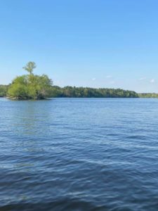
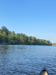
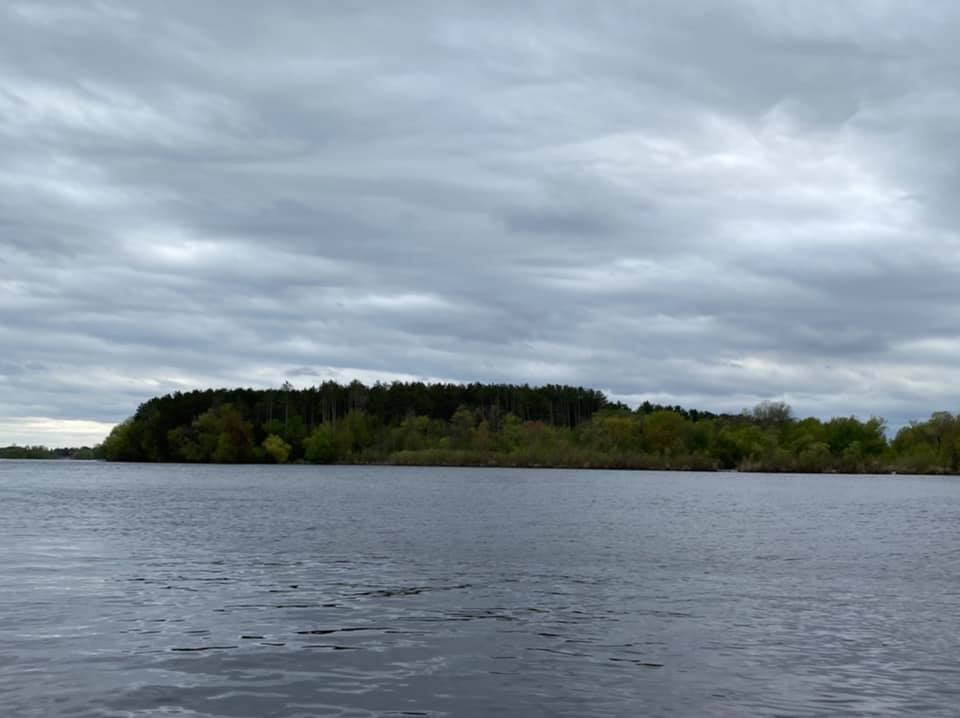
In these photos, you can see our pine forest rising like a dark wall behind the willowy sand spit that shelters ‘Duck Bay,’ as we approach from upstream. The next two photos capture the view from downstream-south, much as Pike and Schoolcraft would have seen it, but with lower water levels before the 1911 dam. It may be that Pike’s expedition even camped here on the flat ground under the pines on about October 13, 1805. We will never know for sure. But I like to imagine it.